more than beaches.....
With more than 3,500 acres of dedicated conservation land, Falmouth is an ideal destination for ecologically-minded travelers. Hikers, photographers and artists will revel in Falmouth’s ‘outback’ in all seasons. Bird watchers, naturalists and walkers can trek through its ancient forests and highlands. Falmouth has some of Cape Cod’s highest elevations within its conservation lands. All visitors can find their own peace - and piece - of Falmouth to revel in and explore. So, pack your hiking shoes, binoculars, camera and other equipment and head to Falmouth, where it is a simple matter to get lost and take a hike!
TAKE A LOOK AT SOME POPULAR TRAILS:
TAKE A LOOK AT SOME POPULAR TRAILS:
ASHUMET HOLLY WILDLIFE SANCUTARY
Owned and operated by the Massachusetts Audubon Society, the Ashumet Holly Wildlife Sanctuary contains 45 acres of woodlands, fields and hiking trails. Wilfred Wheeler, the first commissioner of agriculture in Massachusetts, established it as Ashumet Farm in 1924 to curb the decline of native holly trees, which were threatened by over-harvesting. Josiah K. Lilly III, the Falmouth philanthropist who gave Beebe Woods to the town, purchased Ashumet Farm in 1961 to make it available to the public.
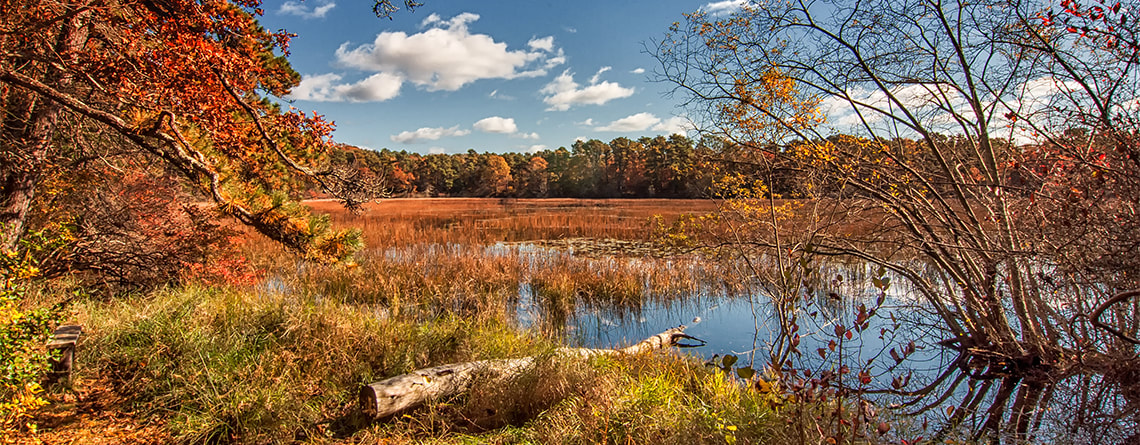
Grassy Pond is one of the sanctuary’s most impressive features. In late summer and early fall, wildflowers dot the pond’s sandy shoreline. Other features at the sanctuary are rhododendrons, an herb garden, an observation beehive and the fall-blooming franklinia tree. The barn is home to a colony of barn swallows. Learn more...
Photo credit: Mass Audubon
BEEBE WOODS
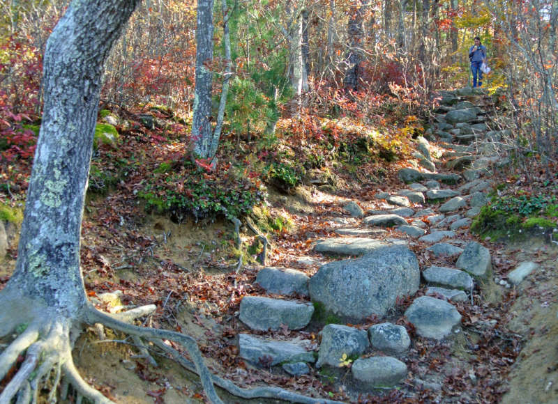
The elegant summer estate of the Beebe family in the center of Falmouth would be a housing tract today, not several hundred acres of town conservation land, if not for the vision and generosity of a Falmouth benefactor. The woods lie across the top of the glacial moraine that stretches from Woods Hole to beyond the Cape Cod Canal. The hills were created some 15,000 to 18,000 years ago at the close of the last Ice Age. Evidence of the glacier’s work is everywhere, from the huge boulders to the irregular shapes of the hills and the kettle holes. Learn more...
The elegant summer estate of the Beebe family in the center of Falmouth would be a housing tract today, not several hundred acres of town conservation land, if not for the vision and generosity of a Falmouth benefactor. The woods lie across the top of the glacial moraine that stretches from Woods Hole to beyond the Cape Cod Canal. The hills were created some 15,000 to 18,000 years ago at the close of the last Ice Age. Evidence of the glacier’s work is everywhere, from the huge boulders to the irregular shapes of the hills and the kettle holes. Learn more...
Photo credit: Buzzards Bay Coalition
COONAMESSETT GREENWAY HERITAGE TRAIL
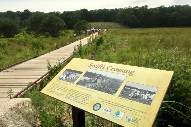
This 3-mile trail, the Coonamessett Greenway Heritage Trail (CGHT), has several shorter loop options with a nearly 1-mile wheelchair accessible section and two boardwalks that cross the river. The Greenway hosts a range of natural systems including wetlands, forests and meadows that are home to a diversity of plants and animals. The cold river water supports five species of migratory fish (river herring, American eel and brook trout among them) as well as other animals like otters and ospreys.
Along the CGHT are eleven "waystations" with educational displays that provided a narrative of natural and human history throughout the river corridor. Learn More...
Photo credit: Cape Cod Wave
FRANCES A. CRANE WILDLIFE MANAGEMENT AREA
Operated by the State Division of Fisheries and Game, the Frances A. Crane Wildlife Management Area in Hatchville was purchased by the state in 1958 with funds provided by hunting and fishing licenses and sporting goods taxes. The major reason for acquiring more than 1,800 acres from the family of Charles Crane was to promote wildlife management and hunting access.
The state took on the ambitious task of developing an intricate trail system, clearing meadows and planting some 5,000 conifers, 30 acres of millet, buckwheat and rye to restore wildlife habitat. As a result, birds, fox and other wildlife returned. Buildings that were part of the extensive Coonamessett Ranch Company, owned by the Cranes, were eventually razed.
The Crane Wildlife Management Area is stocked each year with quail and pheasants. The property is popular not just with hunters, but also mountain bikers, horseback riders, nature walkers and model plane enthusiasts.
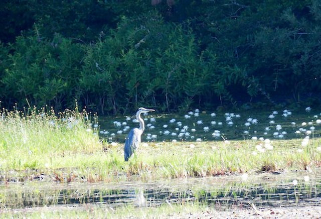
The reservation also contains a rare expanse of meadowland. A late-summer stroll attests to this when the meadow wildflowers bloom and attract throngs of butterflies and birds. The largest open area used to be a grass airstrip for the former Falmouth airport; it is mowed regularly to keep the grassland from reverting back to forest. The grasslands provide habitat for a wide variety of birds and wildlife and support more than 15 threatened plant species, including sandplain blue-eyed grass, New England blazing star and sandplain flax. Learn More...
Photo Credit: eBird
LONG POND / FALMOUTH TOWN FOREST
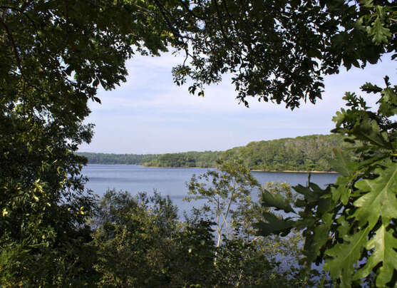
A deep, elongated kettle hole, Long Pond has been the town’s source of drinking water since the late 1800s. Pipes were laid for a private water company that was formed in 1898, and a few years later the town purchased the system. Long Pond is the only pond on the Cape that provides town drinking water. Today Long Pond is protected by 750 acres of forest and swampland. The 3.5-mile dirt service road that circles Long Pond is open to the public. Because the kettle hole was formed at the edge of the glacial moraine, the terrain is smooth with gentle slopes on the southern side while the northern side has steeper, rocky slopes – more of a challenge for the walkers, runners and mountain-bike riders who frequent the area.
Learn More...
Photo Credit: Buzzards Bay Coalition
MORAINE TRAIL
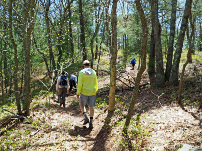
The Falmouth Moraine Trail traverses 11 miles of woodlands with opportunities to through-hike or navigate it in sections. Along the predominantly north-south trail, the varied terrain of the moraine offers a unique Cape Cod hiking experience. A warm breeze carries the tang of salt air mixed with the scent of oak and pine to evoke the very essence of the Cape. The whole trail is well marked with white rectangular blazes on the trees. Two blazes indicated a turn in the trail, with the top blaze offset left for a left turn. Learn More...
The Falmouth Moraine Trail traverses 11 miles of woodlands with opportunities to through-hike or navigate it in sections. Along the predominantly north-south trail, the varied terrain of the moraine offers a unique Cape Cod hiking experience. A warm breeze carries the tang of salt air mixed with the scent of oak and pine to evoke the very essence of the Cape. The whole trail is well marked with white rectangular blazes on the trees. Two blazes indicated a turn in the trail, with the top blaze offset left for a left turn. Learn More...
Photo Credit: Buzzards Bay Coalition

